May 2026
54°17'7.13"N 1°48'20.17"W
We’re back into Wensleydale for May’s Trail Of The Month, but we guarantee you’ll be equally surprised and delighted by this stunning lap from the historic horse town of Middleham. Despite having lived within site of the Yorkshire Dales most of my life, this stunning gravel/XC loop still contains a ton of fantastic tracks I’d never done before. That means blow ins are going to be even more blown away by the mix of Royal history, stunning scenery, perfect gravel and pastoral scenes as well as wild open hill tops and epic flat out descents.
If a 53km lap with over 1000m of climbing is too much then there are plenty of shortcut options. Alternatively if you want a really big day out this loop overlaps with two more Polaris Trail of the month routes from Reeth and Hawes.
POLARIS Middleham Gallop
52.6KM, 1,065M VERTICAL
Start and finish point - Middleham
what3words ///robes.number.tomato
This what3words address refers to a 3 metre square location. Tap the link or enter the 3 words into the free what3words app to find it.
For full navigation data download the GPX file and watch the Strava fly through. Then watch our ride video for a highlights preview of the route.
Stops & shops
Middleham is only small, but it’s got loads of shops, cafes, pubs and a fish and chip shop to pre/refuel at and there are public loos too.
The nearest bike shops are Dales Bike Centre at Grinton or Moonglu in Ripon and the nearest petrol station is in Leyburn.
Once en route there’s a pub at Wensley (5km), a tearooom and toilets at Castle Bolton (12km), 2 pubs and a coffee shop in Askrigg (23km), a pub and cafe in Bainbridge (26km) and another pub in Thoralby (39km).
Watch out for
Wensleydale isn’t normally as wet or windy as Swaledale just to the north, but the section from Bainbridge to Thoralby takes you right up onto the tops with zero shelter from the weather. So dress and pack for the worst just in case. Don’t take silly risks either as rescuers could take a while to find you.
You’re on a main road for the first 2km from Middleham and cross it again at Wensley and Bainbridge so be careful there. Always follow the Countryside Code, keeping gates as they were and picking up any litter you find etc. Be extra careful on Middleham Gallops as those thoroughbred horses are very fast, very expensive and sometimes highly strung.
Route information
Middleham to Castle Bolton 0 - 12km
Make sure you leave time to have a look round Middleham with its narrow alleys and massive Royally linked castle before or after you set off as it’s a really fascinating place. Then to start the ride roll down the A1608 from the town square, letting gravity keep you ahead of the traffic on the narrow descent out of time.
Then it’s over the charming castellated bridge with it’s 190 year old iron deck to replace the suspension design that marching cows rhythmically ruined within weeks of it opening. Turn onto the back road towards Wesley enjoying the stunning views over the broad green river valley. Interestingly Wensleydale is the only ‘major’ dale not named after its river as it would be Uredale if it was. While it’s extremely pretty Wensley definitely isn’t the biggest or most important village in the valley either as you’ll realise as you climb through it’s steep but very small centre.
Climb gradually on the back road to Preston Under Scar, crossing the Wensleydale Railway on the way. Don’t worry about getting squashed by a historic diesel train though as services only run between Leyburn and Leeming at the moment. Keep your eyes peeled for local mining and quarrying history such as tall brick chimneys of old mills and smelting sites as you climb up under the ‘scar’ (cliff) on the dale edge before dropping back down through Preston Under Scar and onto the B road again.
Peel up right just after you cross the T junction with the Leyburn road and you’ll soon find yourself on a totally deserted, grass up the middle back lane. Try not to get annoyed with the multiple gates as you’ve got plenty to come on the outward leg of this route. Just use the stops as an excuse to take in the views down the valley past the prominent keep of Bolton Castle and the flat top of Addlebrough hill which you’ll be pedalling past in 20km time.
Go straight across at the road and then dip down and up through the wood before rolling into the wonderfully unspoilt village of Castle Bolton. Complete with the remarkably preserved block of Bolton Castle dominating the broad green from the far end. This formidable fortification was the ‘open prison’ for Mary Queen of Scots for six months and despite being involved in various religious and political rebellions the Scrope family who built it in the 14 century still live there. They’ve opened up some of it for tea and cakes and suitably medieval entertainments if you fancy a tour too.
Castle Bolton to Bainbridge 12 - 26km
Heading past the castle on it’s north (right hand) side it’s time to get the route off road properly, although you’ll need to open the first of many more gates in the process. The gradually rising and falling gravel double track that links through lush green fields on the edge of the rising moorland is gravel riding gold. As you skirt onto the moor itself there’s even a footbridge and ford situation to add a bit of adventure furniture.
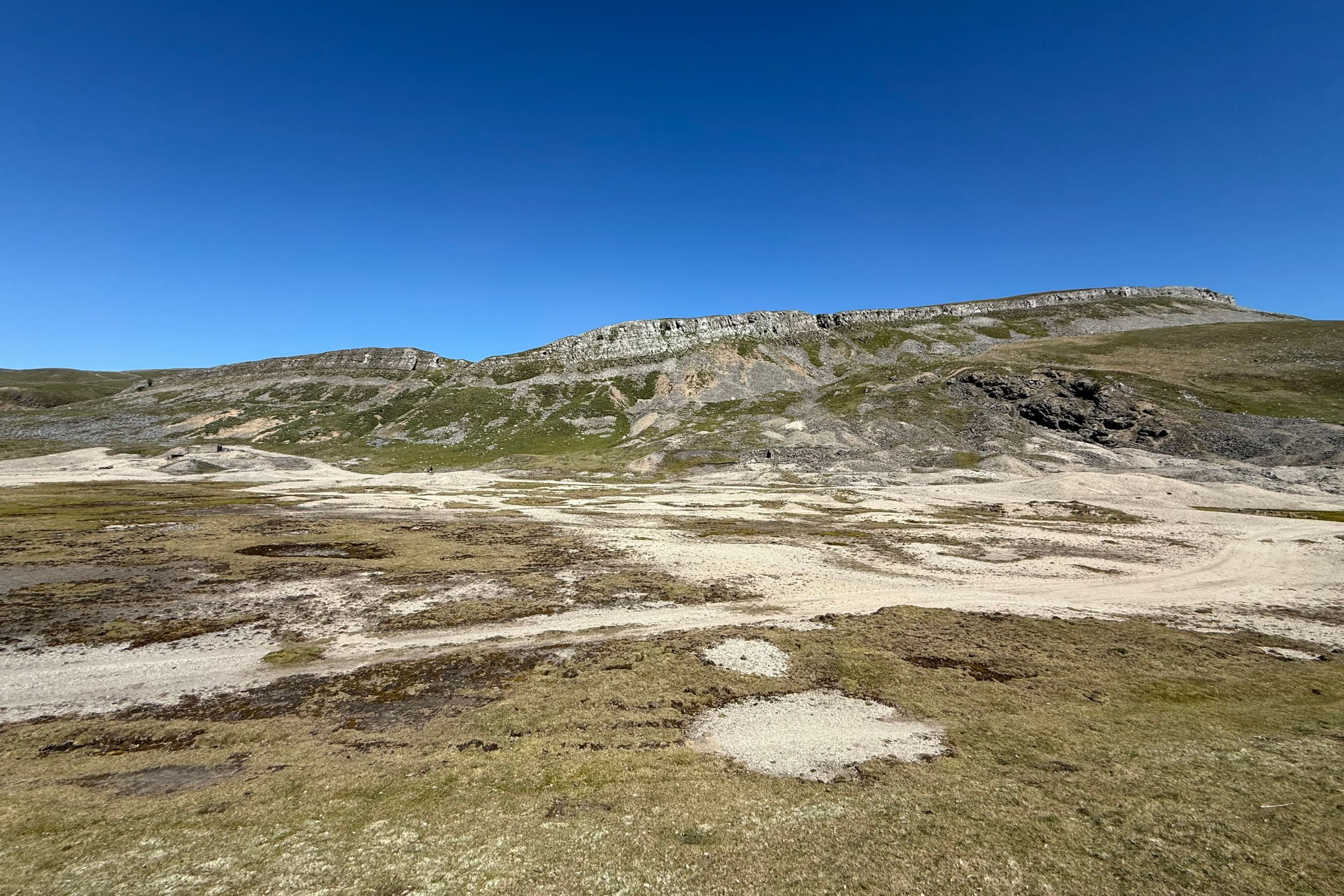
Keep tracking high across the pasture rather than dropping down towards Carperby and you’ll get a gently gravity rush down to Oxclose Gate where Oxclose Road starts. Surely a sign of the cattle driving history of this ancient track halfway between river and more hostile moor. Dramatic remains of the areas lead mining history appear just round the corner where the whole hillside is raw from stripping. Spoil heaps edge the sparse vegetation trying to grow where toxic smelt run off once formed ponds.
Once past the mine site you roll past the remains of settlements and field systems even older than the current dry stone walls and then there’s a slightly complex bridleway junction to navigate. Go through the gate rather than continuing the bridleway that carries on right and upwards onto and over the moor. Instead follow the bridleway that also goes right and upwards but on the far side of the wall working your way through lumpy grass and more old mine tips until you regain a more established double track alongside the wall. Continue following along the wall as it passes the tiny farmstead of Heugh and becomes an arrow straight track to the Askrigg road.
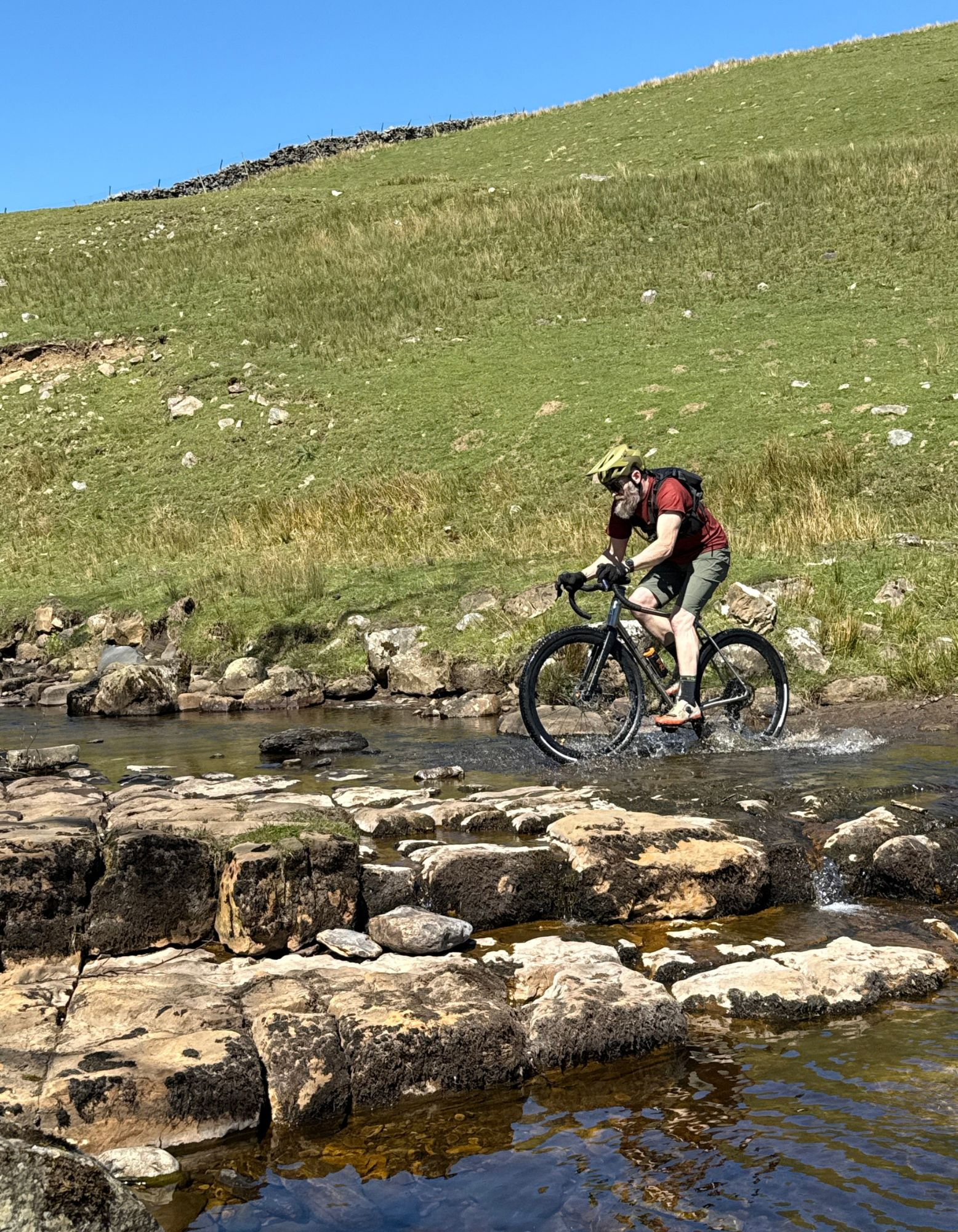
There are some more bridleway options that take you a bit further west at this point. However having tried them on the recce ride, strong starts and a pretty ford across rocky slabs ended up in a confusing maze of confusing signposting and more walls than the map showed. That means we’re dropping you straight down the steep and twisting road into the charming village of Askrigg. Then along the B road before crossing the Ure into Bainbridge at just under halfway round in terms of distance (if not difficulty). It’s your last stop with a range of refuelling options though so still the best place for a break before the big hill.
Bainbridge to Thoralby 26 - 39km
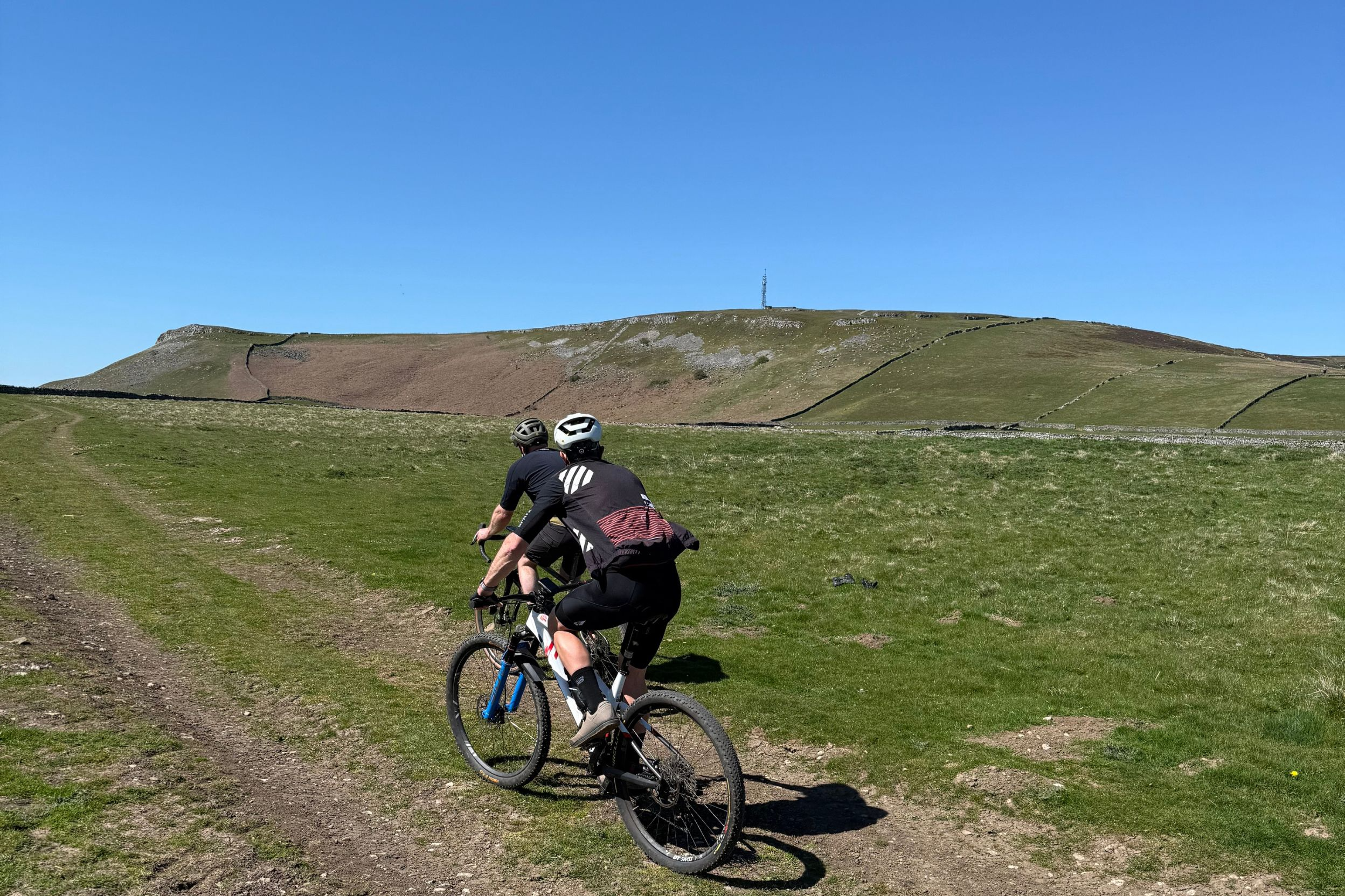
At over 320m vertical, the climb up to Stake Fell is definitely a big hill but there’s plenty going on to keep your mind off the effort. For a start as you pedal off the green and over the bridge you’re crossing the river Bain, the shortest river in the UK. Make sure you take a look at the lump looming over you on the left too, as that’s where the Roman’s built the fort of Virosidium to control the routes up and down the Dale nearly 2000 years ago.
Winching up the road past the transmitter mast, a particularly steep pitch of Brough Pasture opens up views of glittering Semer Water below as well as the infamous mass of Fleet Moss ahead of you. Once you’ve rounded the flat topped local landmark of Addlebrough you get a brief level section past Carpley Green farm. You’d be right in thinking that upwards winding gravel track beyond the gate is where you’re going though so dig in for the last couple of km. Be prepared to balance traction against torque on some of the looser sections too, although at least the rocky surface is totally weatherproof for all round riding.
After a dog leg kink, the climb begins to level off but we’re actually turning before the final summit so keep an eye for a signposted double back onto the grass on the left. Once you’re on it though the track is almost totally straight (and straightforward) and again potential soggy patches of moor top have been filled in with gravel to stop you sinking. You’re definitely very exposed to any wind or weather up here though so do your best to get lost. Don’t worry if you miss the grassy singletrack ‘official’ bridleway that peels off straight ahead as the rockier ‘main’ trail curves round to the right at around 33.7km though as they both end up in the same place. You do want to be sure to take the left fork at 35km and then it’s just a case of laughing it up on the seemingly endless descent all the way down to Thoralby. Just be careful when you get to the T Junction at the end of the farm track as the final bit of road is very steep and potentially slippery on dirty tyres.
Thoralby to Middleham 39 - 53km
Roll along the quaintly quiet main street of Thoralby to the far end and then drop down the old track and over the footbridge to join the back lane and then B road towards West Burton. This road can be a bit busy as it’s the main route from Wharfedale to Wensleydale so watch your sixes.
Soon as you clip the bottom of West Burton village you need to cross the road, over the charming stone Grade II listed hump back of Burton Bridge. You’ll soon realise why there’s an ‘Unsuitable for motors’ sign and maybe wish your bike had a motor itself. That’s because the track breaks up into loose gravel and rock while steepening up at the same time. Just as you think you’ve clawed your way to the top, another challenge section will pop into view too so prepare to dig deep to clean the whole stack. Whether you’ve pushed or pedalled to get to it though the swooping scoot along the broad dry stone walled drove road below the towering shoulder of West Witton Moor is pure gravel pleasure. You get great views all the way across Wensleydale to Castle Bolton and our outward leg too.
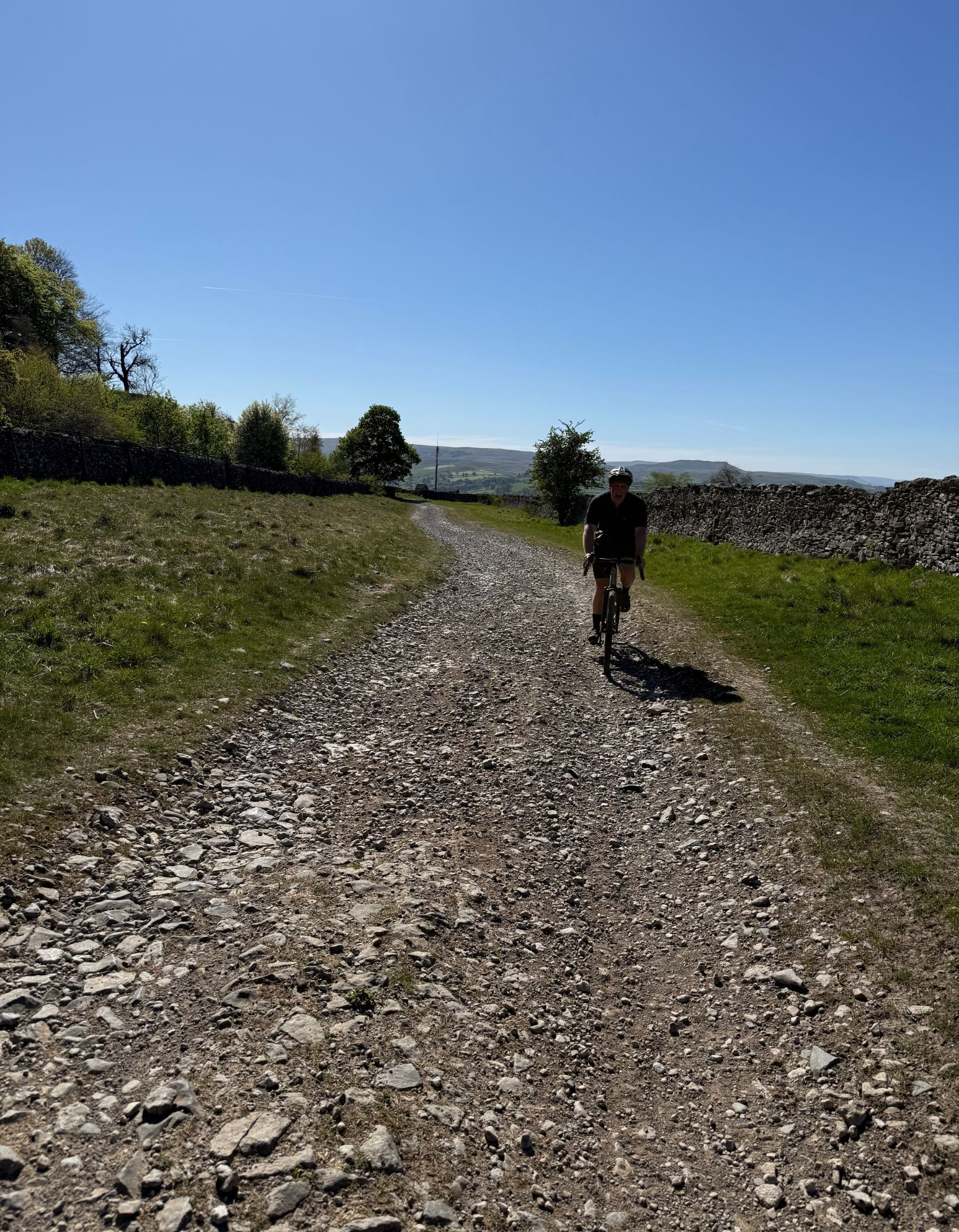
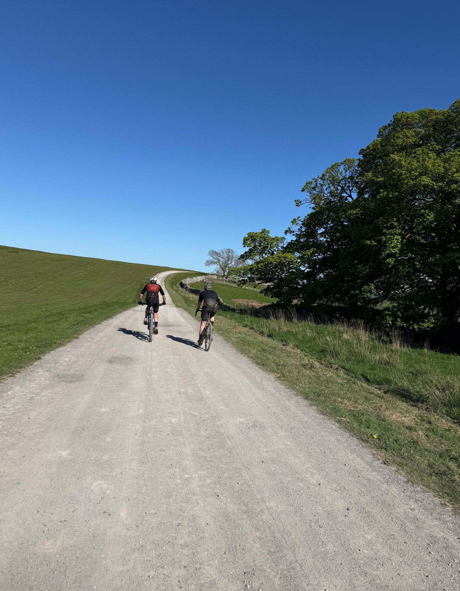
The final climb of the route is made easier by the fact it’s on tarmac too. Once you’ve stomped or spun up the 500m (don’t worry, that’s length, not vert) slope, regain your breath on the back road between the top edge Capplebank Plantation and Middleham High Moor Gallops. Then it’s straight across at the T junction at the end of Common Lane and onto 3km of premium Kansas style Champagne gravel. The broad track is primarily designed for thoroughbred horses to enjoy but it’s fantastic for wheels as well as hooves. The width between the walls of Tupgill Park and lush grass means there’s plenty of room for everyone too, but always slow down or even stop if you think a horse (or a hiker) is looking nervous. As we said at the start the equines round here are seriously expensive and sometimes highly strung so ‘Be Nice, Say Hi’ and make sure everyone stays happy.
That way once you’ve crossed the road onto the final bit of gravel bridleway back into town you can sit down for a pint or brew alongside the pony people without anyone snorting or whinnying at you. Just don’t expect them to be impressed at how much your ride cost compared to theirs.