June 2026
55°1'17.54"N 3°38'35.99"W
This month’s trail of the month takes us north of Hadrian’s Wall and west a bit to Mabie Forest near Dumfries, and it’s a great one for anyone new to off road riding. But not just for a lap of the trails that make it one of the Seven Stanes MTB centres of southern Scotland. Instead this 40km gravel ride mixes easy riding sections of the blue trail with a bigger loop. This takes you past legendary, and osprey frequented, lochs with optional detours to a Napoleonic monument with incredible views, and even an abbey with a name as romantic as its founder’s story. The route is also a taster of a much bigger Galloway route just launched by Cycling UK that we hinted at in a Polaris route earlier in the year. So you can extend it into a big 100km day via the coast and Dalbeattie or even the full 330km multi day ‘Gallovidian Gravel’ adventure. Whatever you choose expect awesome forest gravel, stunning views, truly wild wildlife and a true taste about why this part of southern Scotland is becoming the epicentre of UK gravel cycling.
POLARIS Mabie Baby
38.8KM, 755M VERTICAL
Start and finish point - Apart from the Stable cafe and car parking, Mabie forest has limited facilities unless you’re staying at the hotel on site or the Marthrown of Mabie accommodation. The busy town of Dumfries has everything you might need though, including bike shops and a quick railway connection to the west coast mainline. It’s less than 10km on a mix of bike paths and a very quiet back road too so if you want a gentle, flat warm up/warm down then set off from Dumfries.
what3words ///cage.chase.pesky
This what3words address refers to a 3 metre square location. Tap the link or enter the 3 words into the free what3words app to find it.
For full navigation data download the GPX file and watch the Strava fly through. Then watch our ride video for a highlights preview of the route.
Stops & shops
There’s a cafe in the Stables at Mabie Car Park and the Hotel serves meals and bar snacks so you’re OK for food at the start/finish.
The only potential refuels are just off the route though at the farm shop west of Loch Arthur and the pub or tearoom in New Abbey.
There are public toilets in the abbey car park too.
Route information
Start to Lochaber Loch 0 - 4km
Our suggestion of setting off from Dumfries will make more sense when you realise that the first 2.5km of the ride is uphill. It’s not steep though so you can gear down for a gentle warm up. The first part of the ride also uses the shared path winding up through the woods which can be moist at times and has a couple of tight turns too. So if you want the easiest option just follow the fire road that parallels it up the first part of the climb.
You’ll end up on the fire road for the second part of the climb but again the gradient isn’t too bad and the surface - like all the fire roads on this route - is relatively smooth. Once you’re up and over the hump of the first hill you’ve got a fast gently curving descent that’s tempting to fly down but please be careful. For a start the trip to Lochaber Loch is a popular one so there might be hikers or other riders out of sight around the curve. The left-hand corner to get to the Loch at 3.3km is an off camber 160⁰ switchback of loose gravel too so not something you want to take at speed either.
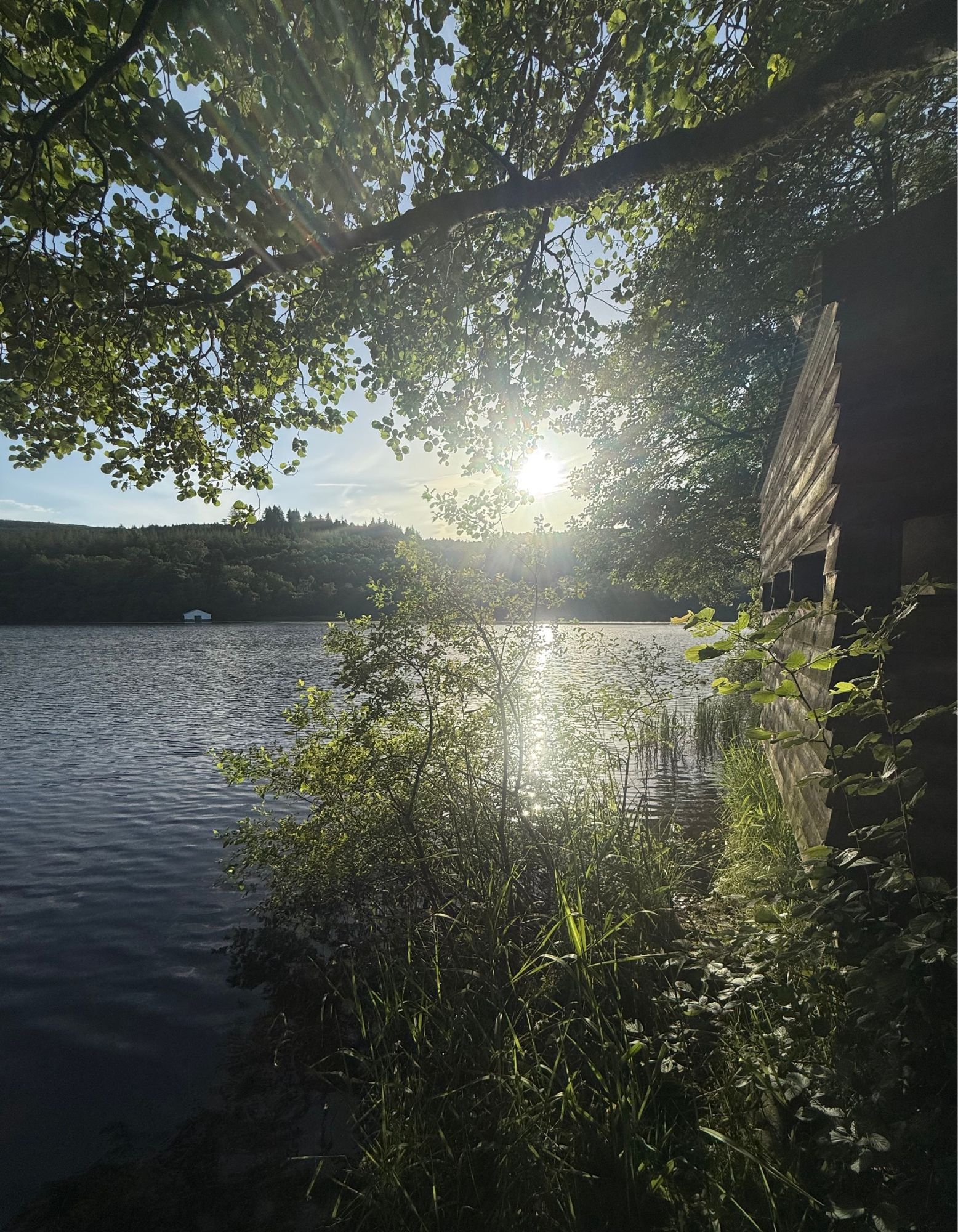
As the track levels out, look out for the narrow singletrack down to the boat house at the Loch side for a view across its shimmering waters. Keen osprey watchers will want to loop round the far side of the loch to the bird hide hidden in the trees on the far side though. So if that’s you continue onwards and carry on curving round right up the overgrown track rather than the clearer left fork.
Lochaber Loch to Loch Arthur 4 - 12km
Whether you follow the fishy eagle spotting diversion or the main route you’ve now got a gentle double track climb through crowding shrubs. This gradually increases in gradient as it loops round the south eastern end of Craigend hill but it’s still a tempo climb rather than a torque test. The surface is a bit rougher here though as the area has been forested recently so there’s some track damage and also chunky repairs to rumble over. Contouring round Lochbank hill opens up a fantastic view over Loch Arthur to the lumpy landscape of Urr. Here multiple crannogs (ancient island settlements) on Lochs, other prehistoric remains and medieval, Jacobean tower houses and the ‘Old Military Road’ make an extended loop around its quiet roads a great option for history fans.
Recent disturbance and those lumpy repairs mean you need to concentrate on wise lines and smart speed control as you curve down around Locharthur Hill though. Commercial plantation also mixes with ancient woodland and old dry stone walls as you can see its legendary waters glinting through the trees to your right. Watch out for the local buzzards here too as they don’t have a great sense of personal space and those big yellow feet have some serious hooks in them.
Unfortunately there’s no obvious Loch access from the forest side so we’ve added a short road diversion north so you can get a good view. And while the Arthurian Lady Of The Lake didn’t appear with Excalibur for us, you can get a clear view of the ancient crannog. Here archaeologists found a 6m long prehistoric log boat complete with a decorated paddle so it’s clearly got a deep history - mythical or otherwise.
Loch Arthur to Waterloo Monument 12 - 19.5km
You’ve got a chance to relive Monty Python’s debate on whether “Strange women lying in ponds distributing swords is no basis for a system of government’ as you roll down the road towards New Abbey. If you watched the ride guide video already you’ll know that I tried to follow what looked - and started out as - a really promising old trackway alongside the rushing, rocky waters of Kinharvie Burn up to Gillwham falls. However you’ll also know that this track suddenly becomes an almost impassable over grown, tussocky, fallen tree laced, sweary stumble that’ll drop your speed from hero to almost zero.
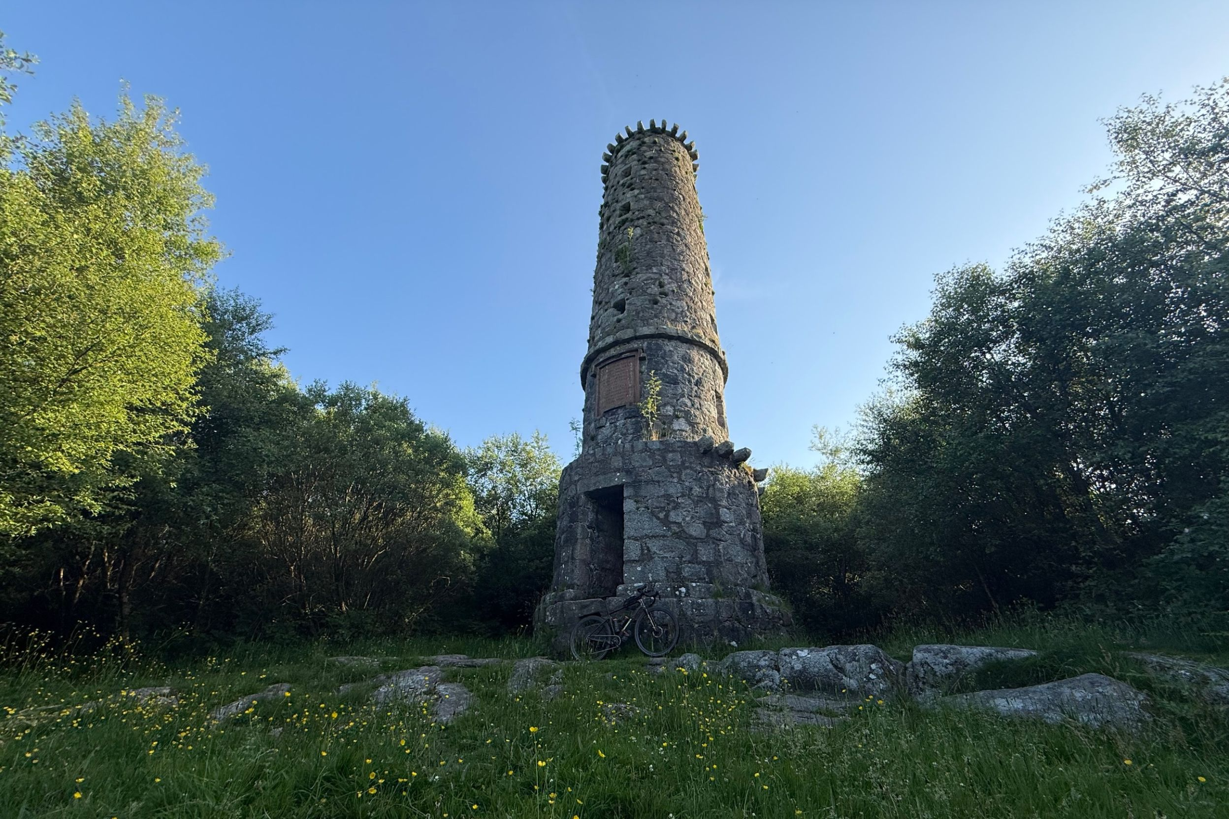
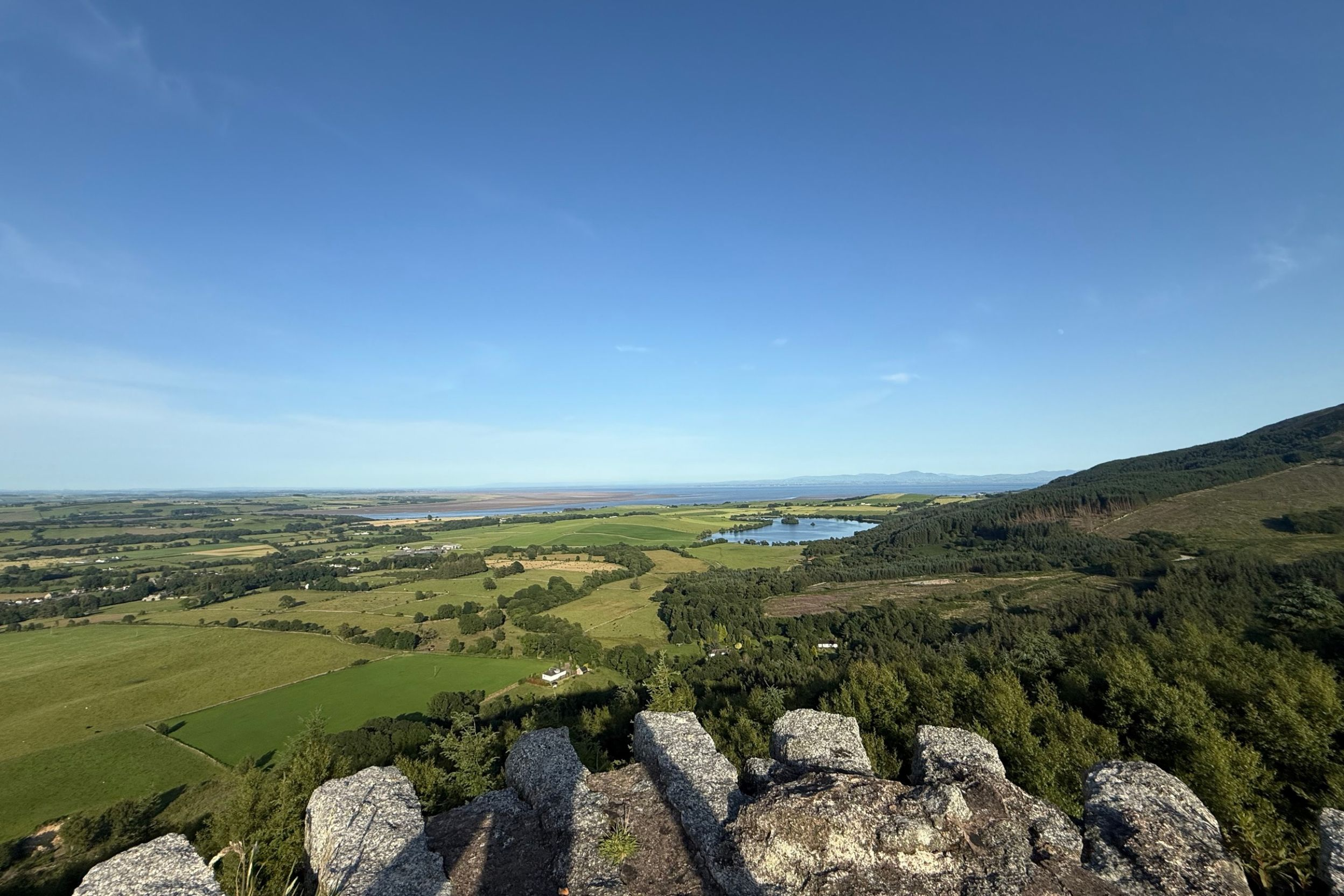
That’s why the final GPX reluctantly keeps you on the road to the Solway fishery for a climb up and then back down on the same set of tracks. If you’re wondering why you’d want to do such a seemingly pointless diversion, the answer is the Waterloo Monument. This slightly incongruous chimney style tower was built to commemorate the famous victory of British, Belgian and Prussian troops over Napoleon. If you clamber up to the elevated doorway and fumble your way up the barely slot window lit, tight, dark, spiral stairway the views from the top are fantastic though. A proper panorama across the big local lump of the Criffel, Loch Kindar (with its crannog that became an early kirk) across the Solway Firth to Carlise and the northern Lake District, over Dumfries to the north and then the ranks of increasingly high hills and forests all the way into Galloway in the west. Just be careful though as the parapet at the top is only a few inches high so more of a trip hazard than a safety feature and going back down the steps is even more perilous than going up.
Waterloo Monument to Deil’s Den 19.5 - 26km
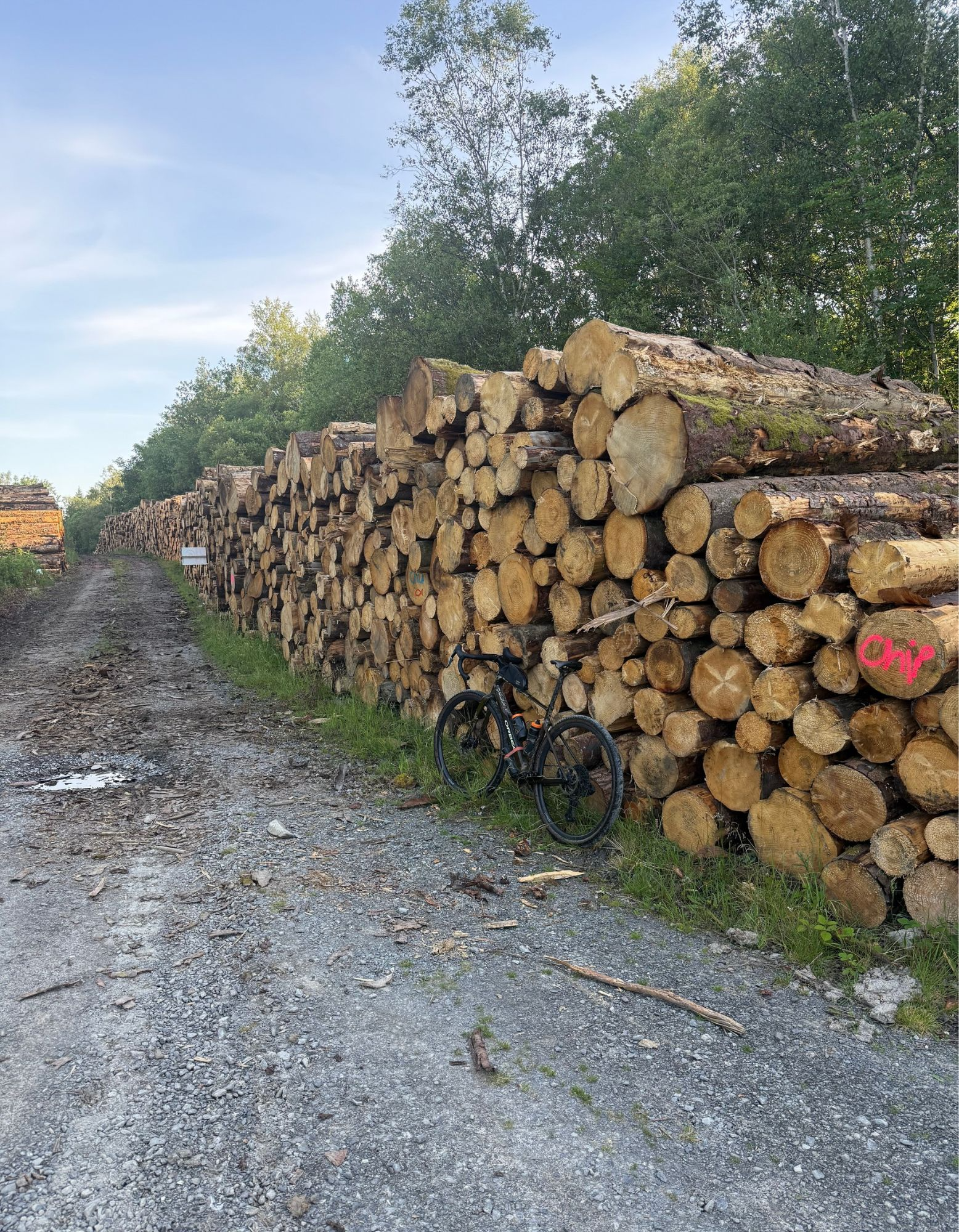
Presuming you survive the staircase, wiggle back through the short bit of slightly overgrown singletrack the way you came and head back down the hill. Again be careful of that gradual turn you probably didn’t really notice as you crawled up. You’ll be going a lot faster on the way down and the mixture of tightening radius, off camber slope and loose surface enjoys making a fool of anyone hitting it too hot. And yes that includes me. Watch out for forestry wagons on the lower section too as there’s logging going on further up the hill through the summer of 2026.
Once you’re back to the road turn right for 2km towards New Abbey.
If you want you can continue a bit further to the village itself where the sandstone ruins of Sweetheart Abbey tell a charming love story. This centres around 13th century local legend and Dumfries developer Dergorvilla of Galloway - who also founded the Abbey and Baliol College in Oxford - who kept her husband’s preserved heart in a locket around her neck after he died.
There’s also a preserved corn mill, a pub and a tearoom as well as public loos if you need a break.
Otherwise turn back into Mabie forest at 24.5km for a not particularly devilish climb up to ‘Deil’s Den’.
Deil’s Den to Telescope 26 - 32.5km
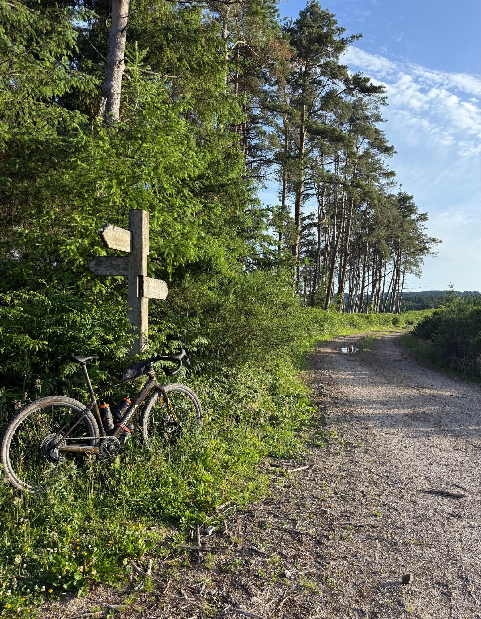
Carry on climbing gently on the rough fire road but as you curve right around Barlay Hill look out for a three-way signpost gradually disappearing into the undergrowth. You’ll need to disappear into the undergrowth for a few meters too as you lump and bump over an occasionally rocky section of off piste singletrack that bridges across to the next bit of fire road. Judging from the rough cobble surface in places this was a track way before the commercial forests were created a century ago.
A gradual swoop down northwards takes you to the forest gate, where a gap on the right takes you straight across the road and back into the forest to Craigend. Turn right to Lochaber Loch and then right again (unless you want to go to the osprey hide this time around) climbing back up to the switchback you probably sketched round 27km ago.
This time you’ll want to head straight on though, through the gate past Lochaber Cottage and then right at Lochanhead, climbing up past the old quarry above Long Wood. Away from the sudden burst of noise from the Dumfries to Dalbeattie main road that’ll make you realise just how silent the rest of the ride has been. As the trees fall away to your left you’ll get a superb panoramic view over the ancient landscape to the north, with its stone circles, castle earthworks and lochs (complete with crannogs obviously). There’s even a telescope at the second viewpoint if you fancy a magnified, though murky and monocular, take on things.
Telescope - Finish 32.5 - 39km
Once you’ve had an eyeful of Dumfries and Galloway, look out for the blue arrows if you fancy a gentle, gravel bike friendly singletrack diversion for a bit of a final furlong thrill. If not just stay on the fire road as it winds through the trees as both end up in the same place. More views open up over Dumfries and the river Nith as you roll gently down around the north eastern corner of Mabie forest. Then it’s a final gentle climb back up and around Larch Hill to the old farmhouse of Marthrown of Mabie with its offer of a range of (from experience, slightly feral) bunkhouse, yurt and Iron Age roundhouse accommodations.
From Marthrown it’s downhill all the way to the finish but remember to be careful of vehicles, walkers and other riders as you get closer to the car park. Especially as the last section of the route is on a shared path that wriggles down through the woods to the car park for a final bit of fun.